


When The Tide Comes In...
...and keeps on coming.


Night after the storm surge. Now imagine this as the norm. (Richard Humphry/geograph)
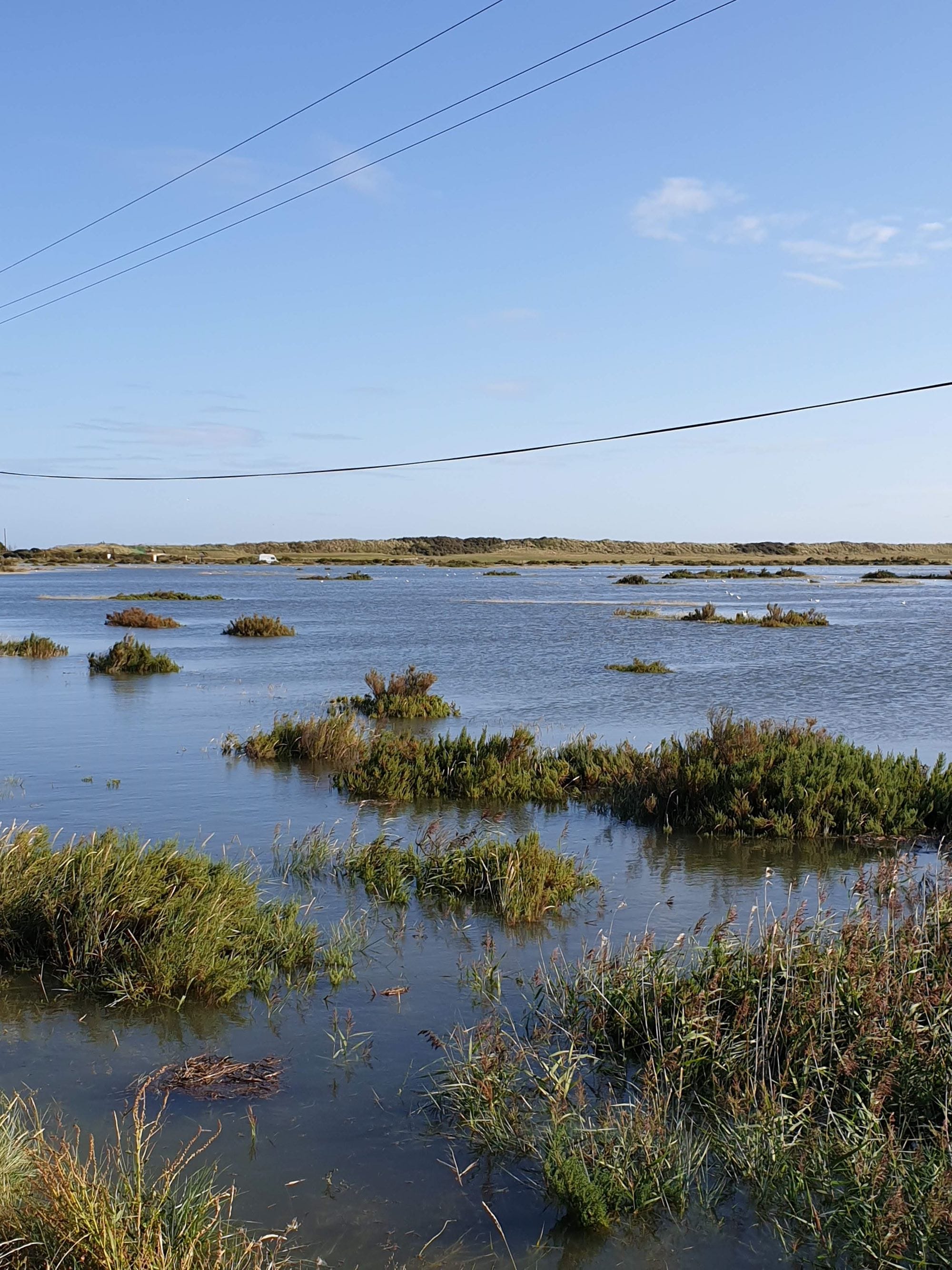
One of the great joys in my life is standing on what we colloquially refer to as the ‘beach bank’ in Brancaster and watching the tide come in.
Not on the beach itself, but in the spiders web of creeks threading through the adjacent salt marsh.
A tentative tickle at first. It creeps, slowly, almost invisible; cold hands searching for land to conquer.

Brancaster’s beach bank looking south. Imagine everything to your left under water (David Lally/geograph)
If it’s a big tide - one in or around the nine metre mark or a bit higher- the whole marsh and beach road aren’t just covered; they’re inundated. On such days, I’ve waded my way down that road to the beach-and found the water reaching very (literal!) eye brow raising levels.
It’s a glorious sight. I’ve taken friends on that walk when the tide has been a faint line on the horizon and the marsh is alive with life, exposed, green and lush.
‘You wait until you see it in the morning’ are my usual words.
Sure enough, twelve or so hours later-same walk, same view.
Except it’s not the same view.
Because we’re standing on a smudge of causeway in the middle of a vast inland sea.
I wait, patiently, as they retrieve their jaws from the ground.
Magic.
Road and marsh halfway to being covered-and this was a modest summer tide (ECL)
Sea levels are, of course, rising.
Everywhere.
It’s not a conspiracy theory. But a scientifically proven fact, despite what the crazy man who used to present, ironically, Coast, on the television might claim on Twitter.
This got me thinking the other day.
What if, for arguments sake, the sea levels all around the Norfolk coast rose by an additional two metres?
That’s around six and a half feet in old money. A smidgen less than my height.
After all, if you live in a bungalow, the height from the ground to your roof is only going to be around three metres (around ten feet)-and no-one is going to call any bungalow a particularly big or tall building.
So two metres, that’s not really very much at all.
So what if the sea levels around Norfolk rose by that measurement overnight?
Would we have much to worry about?
As it turns out, a two metre rise along the Norfolk coast would have profound and far-reaching consequences, affecting the environment, economy, and local communities. As one of the UK's most low-lying and vulnerable regions, Norfolk would face significant challenges in adapting to such a change.

Flood damage at Salthouse. Strong winds plus Spring tides equals… (Richard Humphrey/geograph)
Norfolk is already susceptible to coastal erosion and flooding, and a two metre rise would exacerbate these issues. Iconic locations such as Happisburgh and Overstrand, already battling the encroaching sea, would likely see accelerated erosion.
Cliffs could collapse more frequently, leading to the loss of homes, farmland, and infrastructure. Coastal villages and towns such as Wells-next-the-Sea, Cley, and Cromer could face frequent inundation, rendering some uninhabitable.
The Norfolk Broads, a protected network of rivers, marshes, and wetlands, would be severely impacted.
These areas, already close to sea level, would face increased salinization as seawater pushes further inland, altering ecosystems.
Species reliant on freshwater environments, such as certain fish and birds, could decline, while salt-tolerant invasive species might thrive. Critical bird habitats like RSPB Titchwell and Snettisham could be lost, affecting bird populations and the tourism they attract.

The Meadow Trail at RSPB Titchwell would permanently be under water (Christine Johnson/geograph)
Tourism, a vital part of Norfolk's economy, would suffer.
Coastal attractions, from beaches to nature reserves, could disappear or become unsafe.
Seaside businesses might close, and property values would plummet in vulnerable areas.
Agriculture, particularly in the fertile Fens, would be at risk due to saltwater intrusion, reducing crop yields and threatening livelihoods. Fisheries might also struggle as estuarine and near shore habitats change.
Roads, railways, and utilities could also be affected.
The A149, which connects much of the North Norfolk coast, might face repeated flooding, disrupting travel and trade. Critical infrastructure, such as water treatment plants and power stations, could require costly relocation or reinforcement. Villages and towns might need to install or upgrade flood defences, straining local budgets.
In some cases, entire communities might be displaced, triggering a rise in climate refugees within the UK. Vulnerable populations, including the elderly and those with limited resources, would face disproportionate hardship. The cultural heritage of Norfolk, from its medieval churches to historic market towns, could be irreparably damaged.
To counter these effects, significant investment would be required in flood defences, such as sea walls and managed retreat strategies. Nature-based solutions like restoring salt marshes and creating buffer zones might offer sustainable protection. However, such measures require long-term planning, coordination, and funding.
In summary, a two metre sea level rise along the Norfolk coast would reshape the landscape, economy, and way of life. The urgency for action cannot be overstated; proactive efforts to mitigate the impact of rising seas and adapt to new realities are essential for preserving Norfolk’s future….

Hemsby is fast disappearing off the map (Evelyn Simak/geograph)
…but as the situation at Hemsby in recent years has all too vividly shown, when it comes to a straight fight between us and the sea, there will only ever be one winner.
All of a sudden, that ‘slight’ two metre rise isn’t so insignificant at all-especially if it meant church services in Brancaster being postponed one day because the incoming tide has reached the north door.